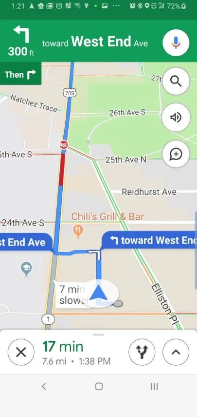
For a while the world could watch the cell phone movements of Russian and Ukrainian factions via Google Maps. A 3.5 mile long Russian convoy slowly making its way toward the capitol city of Kiev was possibly the last thing people saw before Google pulled live traffic data.
Google says it disabled the traffic and live information on how busy places were for the safety of locals.
According to Reuters, Google says turn by turn navigation will still work, which means removing street signs probably is a mostly useless cause at this point.
[Reuters]
